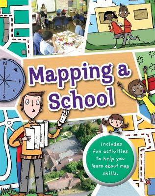
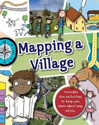
Full of hands-on activities to help you learn all about map skills whilst also learning about the features of a school. This book will show you what a bird's eye map is by looking at aerial photos of a school; how symbols make a map clearer; how compass points can help you find your way around a school; how a plan map shows features of a classroom such as shelves, desks, tables and cupboards; how scale is used to measure a school or a school hall; how to use compass points in the playground; how land use maps work by mapping the rooms in the building; how to use grid references to find classrooms in a school; how to use street maps to find your way from home to school or use transport maps to get to school by bus or further afield on a school trip. Illustrations by Sarah Horne in an amusing and lively style are combined with photographs to really capture a child's attention helping them to learn these important map skills.
BOOK OF THE WEEK - Young readers will love this gorgeous picture book about a chilled capybara who just won't be rushed.
Can you solve the puzzles to save the Kingdom? Put your puzzle skills to the test with mazes, word games and codes to crack!
The second book in this popular series celebrating friendship, magic and fighting for what you believe in.
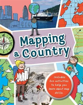
This is Book 6 in the Mapping Series. See all Mapping books here.
No one has written a review for 'Mapping: A School'
Why not be the first to share your opinion?
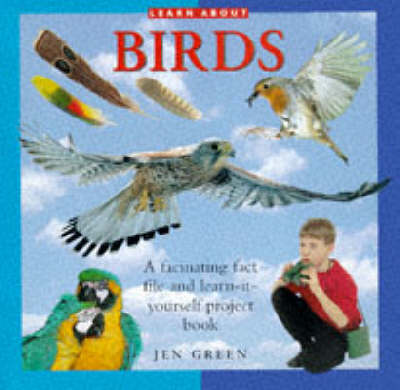
Jen Green received a doctorate from the University of Sussex 'Dept of English and American Studies' in 1982. She worked in publishing for 15 years and is now a full-time writer, who has written over 150 books for children. Her book 'Your Feelings: I'm Special' was short-listed for the NASEN Special Needs Award.
More about Dr Jen Green