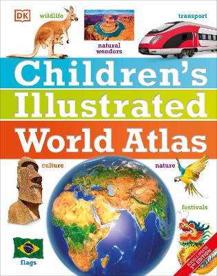
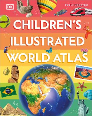
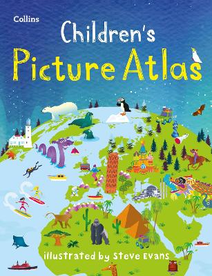
The stunning Children's Illustrated World Atlas takes young readers on the ultimate round-the-world trip. It not only portrays regions such as the Siberian wastes with a beautifully detailed map, it also shows and tells you what it is like to roam across them as a Nenets reindeer herder.
Using stunning modern mapping, based on the latest seamless, cloud-free satellite image data together with facts, maps, satellite images, and local stories, this atlas is a global yet personal experience. From Bolivia's bustling markets to carnival in Venice, the Children's Illustrated World Atlas brings together views from windows all over the world.
BOOK OF THE WEEK - Young readers will love this gorgeous picture book about a chilled capybara who just won't be rushed.
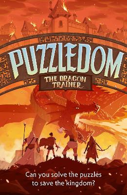
Can you solve the puzzles to save the Kingdom? Put your puzzle skills to the test with mazes, word games and codes to crack!
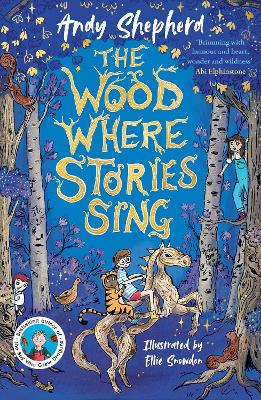
The second book in this popular series celebrating friendship, magic and fighting for what you believe in.
This is Book 3 in the DK Children's Illustrated Reference Series. See all DK Children's Illustrated Reference books here.
No one has written a review for 'Children's Illustrated World Atlas'
Why not be the first to share your opinion?
The world's leading illustrated non-fiction publisher, DK Books covers everything from animals and the human body, to homework help and uncovering the mysteries of our planet. DK’s extensive children’s list showcases a fantastic store of information for children, toddlers and babies.
More about DK