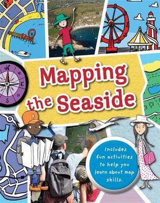
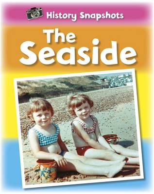
Full of hands-on activities to help you learn all about map skills whilst also learning about the features of the seaside. This book will show you what a bird's eye map is by looking at aerial photos of a seaside town;how tourist maps can help you find your way around; how symbols are used to represent landmarks, how to use a compass at the beach; how scale works by comparing two different harbours; to make a plan map of a pier showing how it is used; using grid references on a holiday campsite; planning a walk near a river estuary using a map; showing contour lines to map cliffs; using weather maps and landuse maps to show seaside buildings such as shops, hotels and houses; looking at islands and how teh water around them is mapped. Illustrations by Sarah Horne in an amusing and lively style are combined with photographs to really capture a child's attention helping them to learn these important map skills.
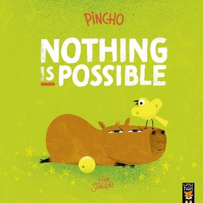
BOOK OF THE WEEK - Young readers will love this gorgeous picture book about a chilled capybara who just won't be rushed.
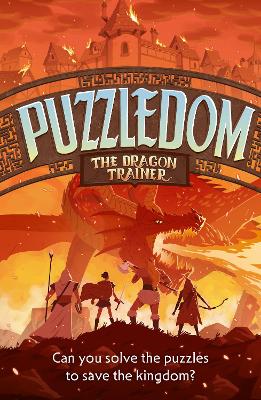
Can you solve the puzzles to save the Kingdom? Put your puzzle skills to the test with mazes, word games and codes to crack!
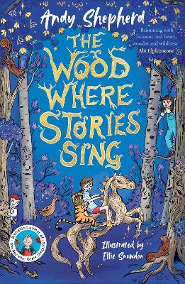
The second book in this popular series celebrating friendship, magic and fighting for what you believe in.
This is Book 5 in the Mapping Series. See all Mapping books here.
See More Natural history
No one has written a review for 'Mapping: the Seaside'
Why not be the first to share your opinion?
Dr Jen Green worked in publishing for 15 years and is now a full-time writer who has written over 200 books for children, on geography, the environment, history, natural history, and other subjects. Her Heinemann-Raintree title on Sustaining Our Natural Resources was selected in 2011 for the Junior Library Guild's SLJ Curriculum Levels program.
More about Jen Green