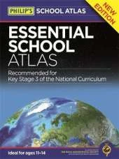
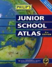
The market-leading atlas for pupils at primary schools, "Philip's Junior School Atlas" has been fully revised for its 6th edition. It is a stimulating and authoritative first introduction to the world of maps. The introductory section describes the meaning of scale, how to measure distances using the maps, and explains the symbols on the maps. The following section is devoted to the United Kingdom and Ireland.Thematic maps cover topics such as mountains and rivers, climate and weather, population and cities, farming and fishing, industry and energy, transport, tourism and conservation. Regional maps of England and Wales, Scotland and Ireland complete this section. The rest of the atlas is made up of world thematic maps and world continental maps. Included are topics such as the world's climate, vegetation, agriculture, minerals, and environmental concerns, such as global warming. A simple letter-figure index completes the atlas - a useful introduction to help the young reader find his/her way around the maps.
This is Book 1 in the Philip's World Atlas Series. See all Philip's World Atlas books here.
See More Atlases & maps
No one has written a review for 'Philip's Junior School Atlas'
Why not be the first to share your opinion?


 The second book in a fabulous new magical, middle-grade series filled with adventure, wonder and wildness,