The Oxford School Atlas includes country data and easy-to-read colourful mapping, presented in an accessible visual layout based on research into how students use maps.
The atlas covers key curriculum themes such as earthquakes and volcanoes, climate, economic activity, and development.
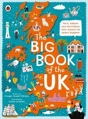
It includes comprehensive coverage of the British Isles, and case studies of Italy, Kenya, Brazil, Japan, China, California, the Indian Ocean tsunami, Hurricane Katrina, and Antarctica.
See More Atlases & maps
No one has written a review for 'Oxford School Atlas'
Why not be the first to share your opinion?
Dr Patrick Wiegand taught in primary and secondary schools before being appointed to the School of Education at the University of Leeds where he trained teachers, taught on Masters' programmes and supervised PhD students. He became Head of Teacher Training at the University of Leeds and then Reader in Geography Education. He has researched children's thinkin
More about Patrick Wiegand


 The second book in a fabulous new magical, middle-grade series filled with adventure, wonder and wildness,