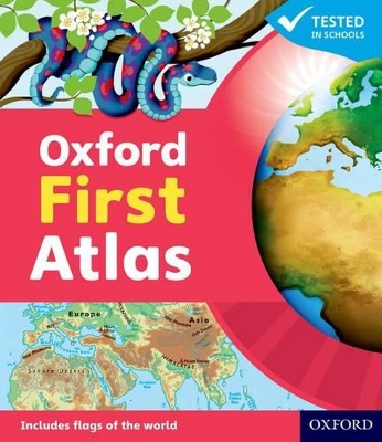
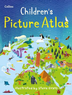
The Oxford First Atlas is an accessible and informative atlas designed for young learners in their first years at school. Completely up-to-date, it features accurate, easy-to-read, and colourful mapping in a layout based on research into how children use maps.
Key Features:
• Comprehensive Coverage: Simple introduction to Planet Earth and places around the world.
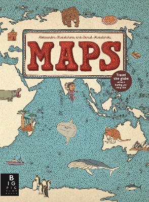
• Clear and Colourful Maps: Includes world maps, continental maps, and thematic maps showing coasts, rivers, mountains, weather, environments, cities, animals, and holidays.
• Engaging Visuals: Colourful photographs, fascinating facts about places and people, and questions to encourage thinking and discussion.
• Interactive Learning: Accompanied by a Teacher’s Handbook, an Activity Book for independent work, and an e-Atlas CD-ROM for whole-class display.
• Perfect for Early Learners: Encourages children to explore their world and develop atlas and map skills.
This atlas is the ideal resource for introducing young learners to geography and inspiring curiosity about the world.
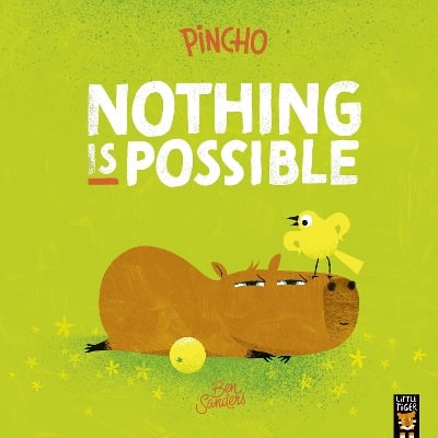
BOOK OF THE WEEK - Young readers will love this gorgeous picture book about a chilled capybara who just won't be rushed.
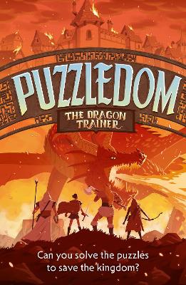
Can you solve the puzzles to save the Kingdom? Put your puzzle skills to the test with mazes, word games and codes to crack!
The second book in this popular series celebrating friendship, magic and fighting for what you believe in.
See More Atlases & maps