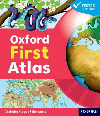
Help young learners explore their world with confidence using the newly updated Oxford First Atlas - the perfect first atlas for home learning, school projects, and early geography skills. Designed specifically for children aged 5+ and fully aligned with the EYFS and Key Stage 1 Geography Curriculum, this beautifully illustrated atlas builds early map-reading skills, locational knowledge, and key vocabulary in a child-friendly, engaging way. Key features include:
• Ideal for children aged 5+ (EYFS & KS1): builds foundational geography and map-reading skills.
• Clear, colourful maps of the UK, the continents, and the world: easy for young readers to navigate.
• Simple map keys and symbols designed for early learners.
• Friendly bird character brings learning to life and supports engagement.
• Includes fascinating facts about places, people, nature, and the globe.
• Introduces simple grid references to support early geographical understanding.
• Curriculum-aligned with the National Curriculum in England (KS1 Geography) and the Early Years Foundation Stage (EYFS) Framework.
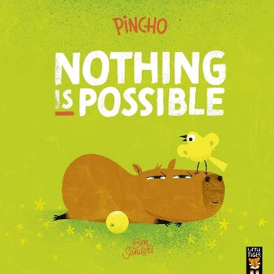
BOOK OF THE WEEK - Young readers will love this gorgeous picture book about a chilled capybara who just won't be rushed.
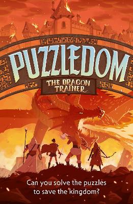
Can you solve the puzzles to save the Kingdom? Put your puzzle skills to the test with mazes, word games and codes to crack!
The second book in this popular series celebrating friendship, magic and fighting for what you believe in.
No one has written a review for 'Oxford First Atlas: An illustrated atlas for children age 5+ - ideal for learning at school and at home'
Why not be the first to share your opinion?