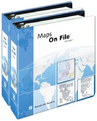
Praise for the previous editions: ...an ideal addition to middle and high school libraries...will be used frequently.--American Reference Books AnnualThe clear and concise layout of the maps and illustrations makes this a unique and unparalleled resource for school and public libraries.--Christian Library Journal...definitely a worthy purchase for all libraries.--Reference Book ReviewThe Trusted Resource Since 1981!Packed with approximately 500 up-to-date, reproducible maps ideal for research reports, presentations, and testing, the 2010 Edition of this critically acclaimed volume continues to provide users with the most current world cartographic information. All maps featured throughout this edition have a consistent look and style and present the most current data available. Each country map includes major cities, borders labeled with the names of neighboring nations, major rivers and roads, a scale of miles and kilometers, and more. Highlights:
This is Book 1 in the Maps on File Series. See all Maps on File books here.
See More People & places
See More Educational: General studies / study skills general
See More Atlases & maps
No one has written a review for 'Maps on File'
Why not be the first to share your opinion?


 The second book in a fabulous new magical, middle-grade series filled with adventure, wonder and wildness,