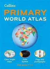
The must-have atlas for children aged 7-11
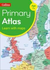
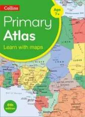
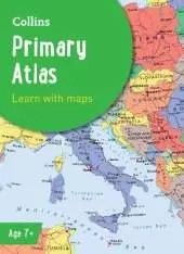
Collins Primary Atlas is a great introduction to mapping of the UK, Europe and all major regions of the world. It supports the Key Stage 2 curriculum and is suitable for children aged 7-11 years.
This new, fully up-to-date edition includes information on map reading skills, the meaning of scale and measuring distances, and is ideal for classroom use or home learning.
Reference maps:
• Informative, politically coloured and easy-to-read
• National capitals and major cities are clearly labelled
• Maps are supported with national flags and basic national statistics
Continental maps:
• Linked to regional mapping
• Supported by a selection of aerial and terrestrial photographs
• Relief maps show layer colouring and highlight major physical features
This atlas is also available in a Kindle format. The next atlas in the series is the Collins School Atlas, suitable for ages 11+ and KS3.
This is Book 4 in the Collins School Atlases Series. See all Collins School Atlases books here.
No one has written a review for 'Collins Primary Atlas: Ideal for Learning at School and at Home'
Why not be the first to share your opinion?
Explore the world through accurate and up-to-date mapping.
More about Collins Maps
 The second book in a fabulous new magical, middle-grade series filled with adventure, wonder and wildness,