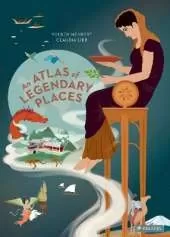
Where along the Rhine does the Nibelung Treasure lie? What river helps mark the prime meridian? Why do people make pilgrimages to the Indian city of Benares? Why is the Mekong called the “Nine Dragon” river in Vietnam? How does the Mississippi divide and unite the United States? These and hundreds of other facts are explored in this wonderfully illustrated atlas of the world’s great rivers.
Each spread in this book, which includes a gorgeous gatefold page, offers a colorful map packed with drawings, figures, and facts. Cities that border the rivers are highlighted, as are distinct flora and fauna, significant natural and human- made features, and fascinating historical details. A “biography” of each river describes where it flows, and its importance to the communities it passes through. Special attention is given to the ecological health of the rivers—those that are thriving and those in danger of losing their valuable habitats. Along the way, young readers will come to understand the enormous impact that rivers have on our lives, while learning valuable information in a way that will spark their curiosity and imagination.
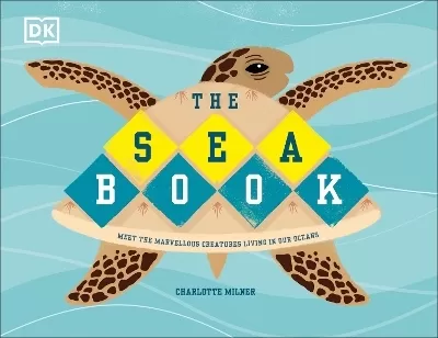
See More Natural history

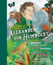
Volker Mehnert has worked for many years as a freelance journalist, travel writer, and author, and he has lived in Latin America, eastern Europe, and the US, where he has often followed in the footsteps of Alexander von Humboldt. His books about Mexico, California, Portugal, and the South Seas range from topics of tourism and culture to history.
MARTIN HAAKE is an internationally known illustrator and artist living in Berlin who has been working as a freelance illustrator for about 14 years for clients all over the world: Barnes & Noble, The Royal Society of Arts, Penguin Books, The Boston Globe, Travel & Leisure, Elle and the Shangri-la Hotel, Hong Kong, to n
More about Martin Haake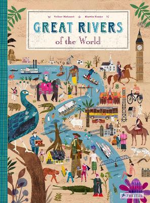
 The second book in a fabulous new magical, middle-grade series filled with adventure, wonder and wildness,