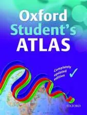
The Oxford Student Atlas is an essential resource for exam success, featuring stunning satellite images, comprehensive country data, and easy-to-read colourful mapping in an accessible layout based on research into how students use maps.
Key Features:
• Stunning Visuals: High-quality satellite images and clear, colourful mapping for easy understanding.
• Exam Specification Coverage: Includes key themes such as earthquakes, volcanoes, climate change, economic activity, development, and globalisation.
• Comprehensive Mapping: Detailed coverage of the British Isles, Europe, and the world.
• Student-Friendly Layout: Accessible design based on research into how students interact with maps.
• Ideal for Exam Courses: Perfect companion for A Level and GCSE Geography revision.
This atlas combines rigorous content with engaging visuals, making it the ideal reference for students preparing for geography exams."
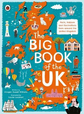
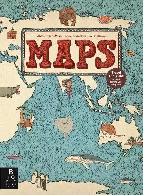
See More Atlases & maps
No one has written a review for 'Oxford Student Atlas'
Why not be the first to share your opinion?
Dr Patrick Wiegand taught in primary and secondary schools before being appointed to the School of Education at the University of Leeds where he trained teachers, taught on Masters' programmes and supervised PhD students. He became Head of Teacher Training at the University of Leeds and then Reader in Geography Education. He has researched children's thinkin
More about Patrick Wiegand


 The second book in a fabulous new magical, middle-grade series filled with adventure, wonder and wildness,