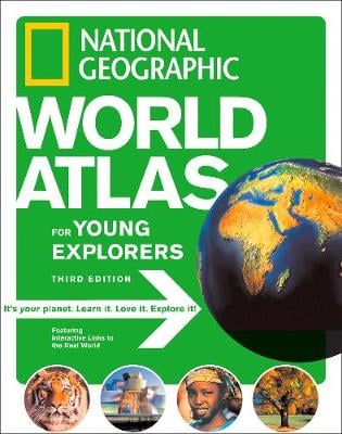
The latest edition of this award-winning title features all new photographs, maps, and graphics. And now, for the first time ever, the National Geographic World Atlas for Young Explorers goes interactive! The 3rd edition is full of bright, bold icons that allows kids to go beyond the printed page and experience online the sights, sounds, and movements of the world's people, places, and animals.
With the specially designed companion website, watch brown bears fishing for salmon, view a re-enactment of the sinking of the Titanic, explore the world's largest sand desert, play a game that will teach you about tornadoes, find out what a didgeridoo sounds like, help unravel the mysteries of King Tut's tomb, and much more. Every printed map is designed for middle-grade students and reflects the latest place-name and boundary changes. All maps are shown in the context of surrounding areas to ensure that a complete picture of the world develops. Same-size physical and political maps make for easy comparisons and help youngsters understand how physical features influence patterns of human settlement and economic activity. Images from space help link real-world images and give young readers a physical sense of the natural grandeur of our world.
This is Book 4 in the Atlas Series. See all Atlas books here.
See More Atlases & maps
No one has written a review for 'National Geographic Kids World Atlas'
Why not be the first to share your opinion?