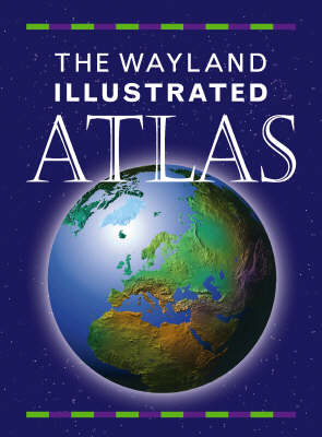
This introductory atlas is full of attractive and informative maps, with simple text offering clear descriptions of the countries concerned. Pictorial maps show animals, food, places and events that are common to a particular country. Flags and population numbers are also highlighted and locator globes show the country's position in the world. There is an explanation of how the world is turned into a map and an index of the world's countries and their captials. A compass character introduces ideas and information through the use of speech bubbles.
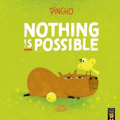
BOOK OF THE WEEK - Young readers will love this gorgeous picture book about a chilled capybara who just won't be rushed.
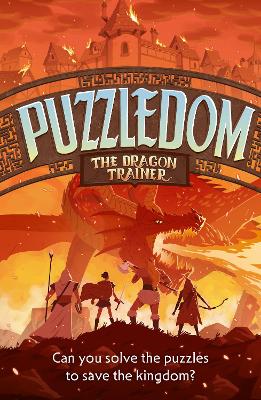
Can you solve the puzzles to save the Kingdom? Put your puzzle skills to the test with mazes, word games and codes to crack!
The second book in this popular series celebrating friendship, magic and fighting for what you believe in.
This is Book 6 in the Wayland One Shots Series. See all Wayland One Shots books here.
See More Atlases & maps
No one has written a review for 'The Wayland Junior Illustrated Atlas'
Why not be the first to share your opinion?
Shirley Willis was born in Glasgow, Scotland. She has written and illustrated many books for children. She has also worked as a book designer and editor.
More about Shirley Willis