This atlas uses computer-generated continental and regional maps to create a reference tool for home and school. From Afghanistan to Zimbabwe and from pole to pole, every country in the world is mapped in bright, clear colours that are easy to interpret and understand. An informative opening section examines the Earth's place in the Solar System, before a selection of world thematic maps throws light on our planet's ever-changing surface, its climate, vegetation and human population. World physical and political maps introduce the main atlas section, which is organized by continent. A continental relief map heads each section. regions and individual countries are then mapped in greater detail. land relief is shown by both hill shading and an easy-to-read colour scale, while sea depths are indicated by a colour scale alone. A locator map shows the position of the country or continent in its world context and, for easy reference, each map includes national flags, lines of latitude and longitude, and a scale bar. Also included is a numbered and lettered grid which allows readers to find place names listed in the comprehensive index.
Each map is accompanied by concise, accessible text containing physical, historical and cultural information about the country, region or continent shown.
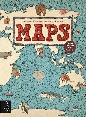
See More Atlases & maps
No one has written a review for 'The Kingfisher World Atlas'
Why not be the first to share your opinion?
Philip Wilkinson has written around 50 non-fiction books for children, mostly on historical and cultural subjects. His titles include the award-winning Amazing Buildings, histories of ancient and medieval civilizations, retellings of myths and legends, and several volumes in Dorling Kindersley's bestselling Eyewitness series. He is also the author of the boo
More about Philip Wilkinson
 The second book in a fabulous new magical, middle-grade series filled with adventure, wonder and wildness,