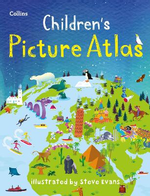
Set off on an exciting journey around the world with this beautifully illustrated picture atlas.
Explore the continents and countries of the world with fun facts, easy-to-use maps and colourful illustrations.
This new edition of the Children's Picture Atlas is filled with fascinating, up-to-date information about wildlife, culture, food, sports, amazing sights, and more.
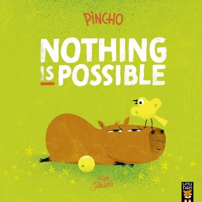
BOOK OF THE WEEK - Young readers will love this gorgeous picture book about a chilled capybara who just won't be rushed.
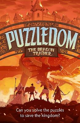
Can you solve the puzzles to save the Kingdom? Put your puzzle skills to the test with mazes, word games and codes to crack!
The second book in this popular series celebrating friendship, magic and fighting for what you believe in.
No one has written a review for 'Children’s Picture Atlas: Ideal Way for Kids to Learn More About the World'
Why not be the first to share your opinion?
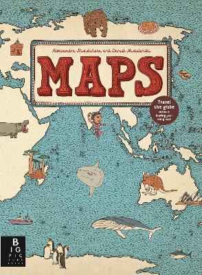
Explore the world through maps..
More about Steve Evans