The must-have atlas for children aged 7-11
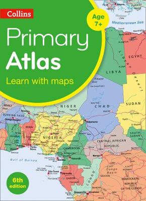
Collins Primary Atlas is a great introduction to mapping of the UK, Europe and all major regions of the world. It supports the Key Stage 2 curriculum and is suitable for children aged 7-11 years.
This new, fully up-to-date edition includes information on map reading skills, the meaning of scale and measuring distances, and is ideal for classroom use or home learning.
Reference maps:
• Informative, politically coloured and easy-to-read
• National capitals and major cities are clearly labelled
• Maps are supported with national flags and basic national statistics
Continental maps:
• Linked to regional mapping
• Supported by a selection of aerial and terrestrial photographs
• Relief maps show layer colouring and highlight major physical features
This atlas is also available in a eBook format. The next atlas in the series is the Collins School Atlas, suitable for ages 11+ and KS3.
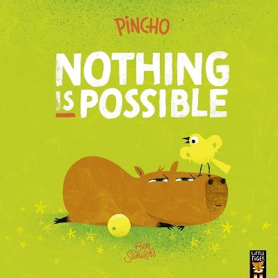
BOOK OF THE WEEK - Young readers will love this gorgeous picture book about a chilled capybara who just won't be rushed.
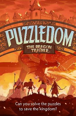
Can you solve the puzzles to save the Kingdom? Put your puzzle skills to the test with mazes, word games and codes to crack!
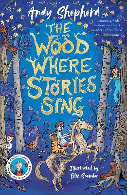
The second book in this popular series celebrating friendship, magic and fighting for what you believe in.
This is Book 7 in the Collins School Atlases Series. See all Collins School Atlases books here.
No one has written a review for 'Collins Primary Atlas: Ideal for Learning at School and at Home'
Why not be the first to share your opinion?
Explore the world through accurate and up-to-date mapping.
More about Collins Maps