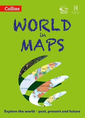
Collins World in Maps is a multi-topic atlas of the world, which introduces the most relevant physical and human topics to reflect the Geography Key Stage 2-3 requirements of the National Curriculum.
Formerly published as Collins Keystart World Atlas, this collection of maps can be used to investigate different themes and topics. It tells a story in maps, diagrams, charts, words and photographs, each of which presents information to compare and examine.
We live on a remarkable planet and this atlas helps us to make sense of the world today and understand how things came to be, as well as how they might change in years to come.
Suggested activities on each spread encourage users to explorer further.
BOOK OF THE WEEK - Young readers will love this gorgeous picture book about a chilled capybara who just won't be rushed.
Can you solve the puzzles to save the Kingdom? Put your puzzle skills to the test with mazes, word games and codes to crack!
The second book in this popular series celebrating friendship, magic and fighting for what you believe in.
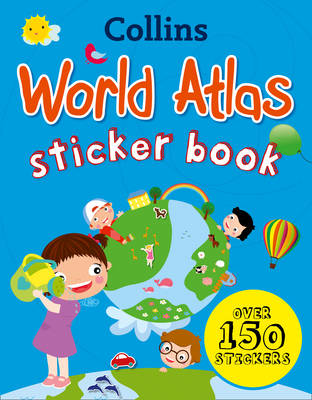
This is Book 4 in the Collins Primary Atlases Series. See all Collins Primary Atlases books here.
No one has written a review for 'World in Maps'
Why not be the first to share your opinion?
He is Honorary Publications Officer for the Geographical Association (GA) and editor of the GA's best-selling publication, the Primary Geography Handbook
More about Stephen ScoffhamExplore the world through accurate and up-to-date mapping.
More about Collins Maps